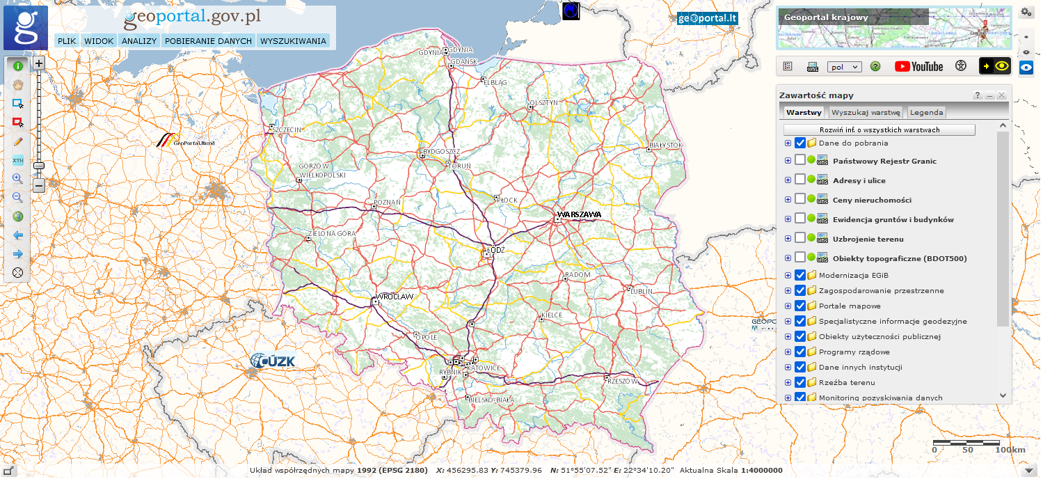
The web application lets you browse and search spatial data sets and services which belong to the National Spatial Data Infrastructure.
Available at: https://mapy.geoportal.gov.pl/imap/.
The main task of the portal is to provide citizens, entrepreneurs and public administration with spatial information from official registers guaranteeing its quality, timeliness and reliability. The website is the central point of access to the national spatial data infrastructure.