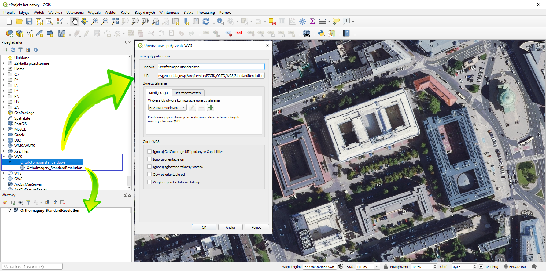
WCS1 (Web Coverage Service) allows downloading raster data, for example, orthoimagery or digital elevation model.
After downloading the data, they can be used for any purposes fulfilling the users’ needs.
Below is a list of WCS services published by the Head Office of Geodesy and Cartography:

Orthoimagery
| Service type | Service name and parameters | Data sample | Service URL |
|---|---|---|---|
| Orthoimagery | Copy URL | ||
| High Resolution Orthoimagery | Copy URL | ||
| True Ortho | Copy URL |

Digital Terrain Model
| Service type | Service name and parameters | Data sample | Service URL |
|---|---|---|---|
| Digital Terrain Model – Arc/Info ASCII Grid | Copy URL | ||
| Digital Terrain Model – GeoTIFF | Copy URL |

Digital Surface Model
| Service type | Service name and parameters | Data sample | Service URL |
|---|---|---|---|
| Digital Surface Model – Arc/Info ASCII Grid | Copy URL |
These services can be used in any software which supports WCS client functionality, e.g. QGIS.
1Web Coverage Service (WCS) is an international standard for sharing spatial data on the Internet in raster form. Technical standards are available on the Open Geospatial Consortium (OGC) website: http://www.opengeospatial.org/standards/wcs.