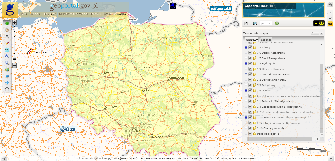
The INSPIRE Geoportal lets you browse and search spatial data sets and services made under the INSPIRE directive.
The INSPIRE initiative is a set of activities that aim to build a European infrastructure for spatial information in order to ensure access to spatial data for each of the members of the European Union. By definition, the data is used at European level for planning and research connected with environmental policy, agriculture, transport, energy.
Within the processes related to the legal arrangements, the law in of the infrastructure for spatial information (IIP) in Poland has been agreed that constitutes at the same time a transposition of the INSPIRE directive. This act regulates actions related to the operations of construction and development of the infrastructure for spatial information in the country.
Spatial data themes for which Surveyor General of Poland is responsible are grouped according to the INSPIRE Directive in three thematic groups. Geoportal presents the following data types:
| Type of Spatial Data | Source of data acquisition | Thematic group |
|---|---|---|
| Coordinate Reference Systems | – | I |
| Geographical Grid Systems | – | I |
| Geographical Names | National Register of Geographical Names | I |
| Administrative Units | State Boundaries and Territorial Divisions Register | I |
| Addresses | State Boundaries and Territorial Divisions Register | I |
| Cadastral Parcels | Processed and integrated cadastral data | I |
| Transport Nertworks | Database of Topographic Object – roads, railways General Geographic Database 1:250 000 | I |
| Hydrography | Central Hydrogeological Data Bank | I |
| Protected Sites | National Institute of Cultural Heritage General Directorate for Environmental Protection | I |
| Elevation | DTM – Digital Terrain Model | II |
| Land Cover | Topographic Objects Database (BDOT10k) Corine Land Cover | II |
| Orthoimaginery | Orthophotomap pixel size 0,25 m and 0,50m | II |
| Geology | Polish Geological Institute | II |
| Utility and govermental services | Database of Topographic Objects | III |
| Statistical Units | Statistics Poland | III |
| Land Use | National Integration of Local Spatial Development Plans | III |
| Environmental Monitoring Facilities | State Environmental Monitoring | III |
| Population Distribution (demography)) | Statistics Poland | III |
| Natural Risk Zones | General Directorate for Environmental Protection/td> | III |
| Sea Regions | Polish Geological Institute | III |
In the INSPIRE Geoportal, users also have access to INSPIRE data and services published by administration units other than the Surveyor General of Poland, eg Natural Risk Zones, published by the General Directorate for Environmental Protection.