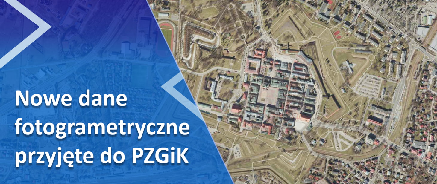
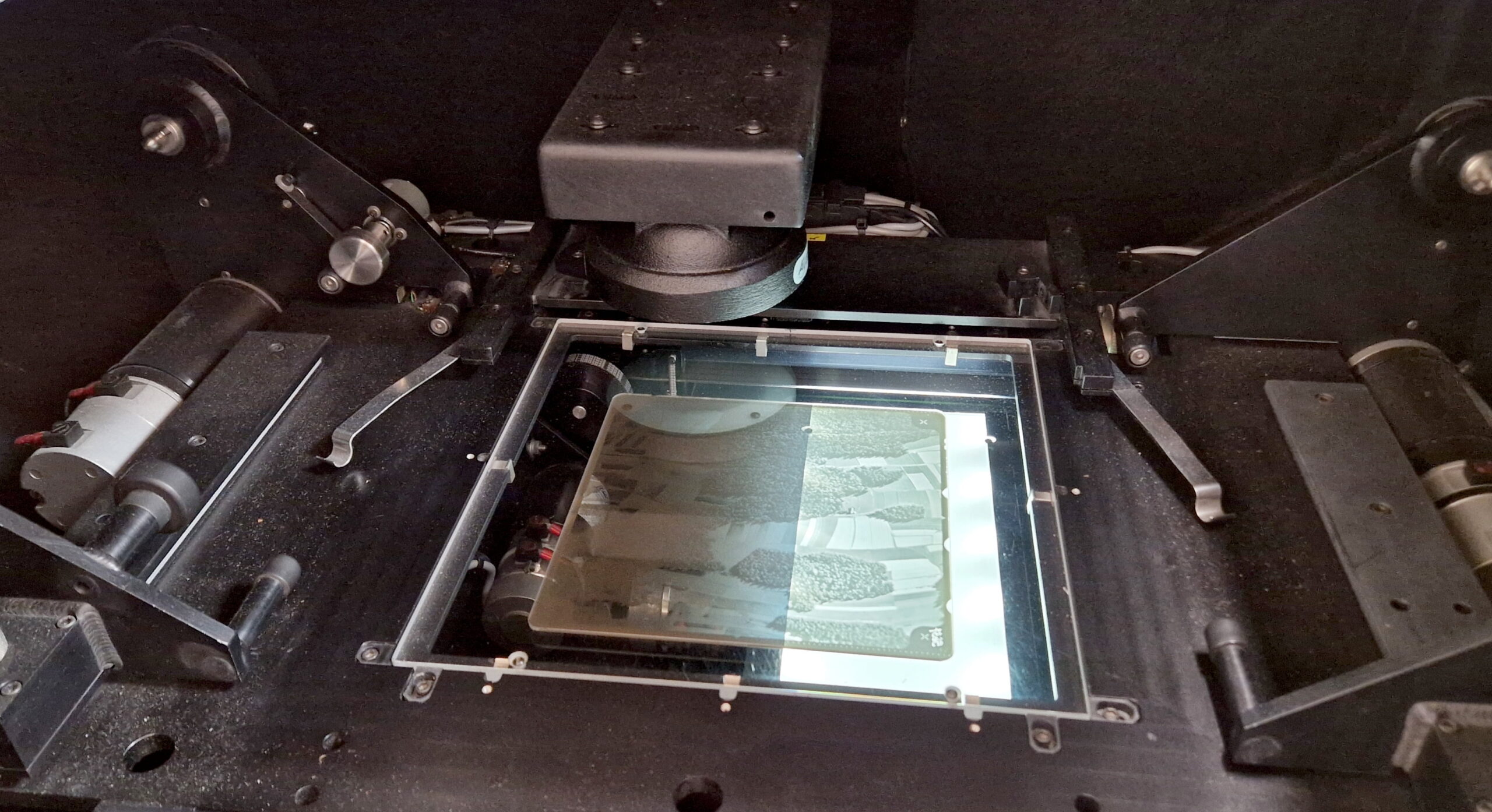
We have accepted another batch of archival aerial photos taken on glass plates (350 pieces) into the Central Geodetic and Cartographic Resource. The photos come from the archive in Lesznowola and were digitized as part of the GUGiK’s own work.
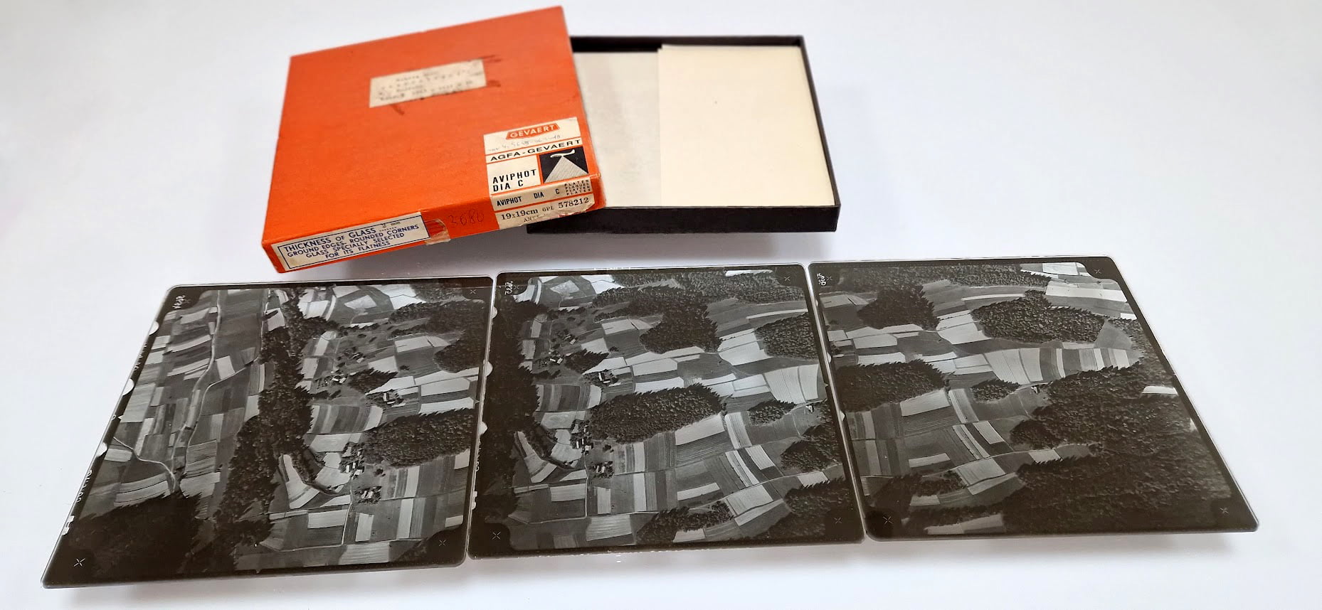
These are gray scale materials, made in the years 1960, 1963, 1967, 1968, 1969 covering the vicinity of Krakow, Grybów, Wrocław, Stawno, Poznań and Mysiadło. The photo scales range from 1:2500 to 1:24600.
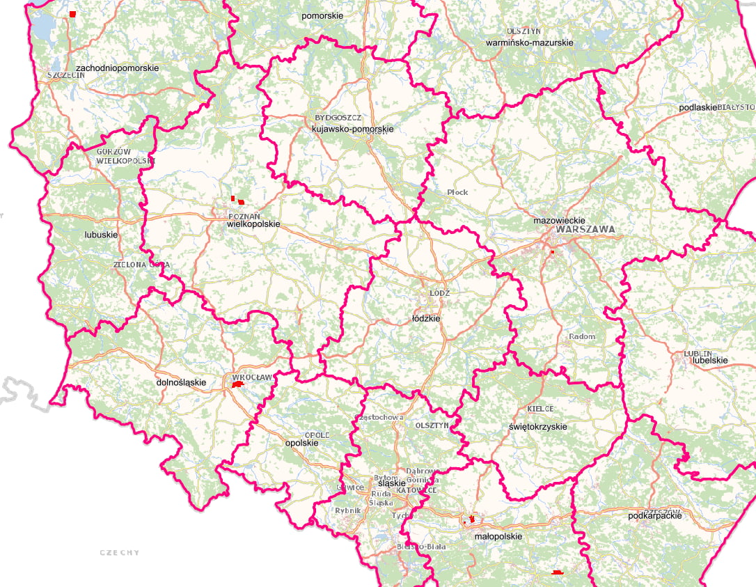
In the illustration below, the areas for which the above archival photos taken on glass plates were scanned are indicated in red.
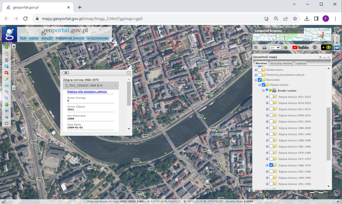
Photos can be purchased through the PZGiK portal by submitting an appropriate application. The preview of these photos in the form of thumbnails (i.e. files with reduced resolution) is also available on the website www.geoportal.gov.pl in the “Skorowidze” – “Aerial photos” layer group.