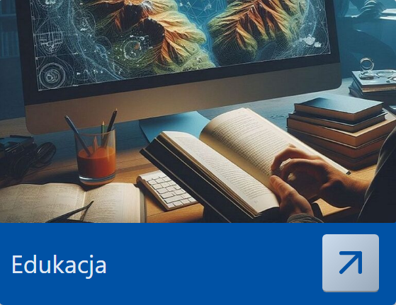
1. Is there a possibility of obtaining ortophotomaps, maps or other materials for the specified area of land?
    In order to obtain materials must make a request in the right center of geodetic and cartographic documentation.
  2. Is there a possibility to use the materials available in layers Geoportal for commercial or academic use?
    In the current legal materials are protected and to use must be obtained from the appropriate geodetic and cartographic documentation center and pay the appropriate fee.
  3. Where can I find information about the date the picture was taken for orthophoto?
    The date of aerial photos accuracy can be found in metadata.
  4. While viewing a map of the cadastral parcels, I have some disagreement as to the marking of the plot? Therefore, my question is – on what basis and where can I get the source, on the basis of which they have been designated boundaries of cadastral parcels?
    The cadastral data come from two sources. Those that are displayed in red, are the information obtained from the Agency for Restructuring and Modernisation of Agriculture (ARMA). These data are updated once or twice a year and is for information purpose only. By contrast, boundaries displayed in blue are derived from the relevant local and county geodetic and cartographic documentation centers are updated on a regular basis. Source information, please contact your local geodetic and cartographic documentation center.
  5. Do I need an account to be able to use the Geoportal?
    No need. At the moment have an account allows you to actively participate in the forum.
  6. In what format / system are the coordinates? 
    Coordinates x, y are the coordinates of the ETRS89 / Poland CS92, while the geographic coordinates are in  WGS84.
  7. Does Geoportal feature allows you to print the map?  The Geoportal does not have a tool to print out maps or save them to a file. If you want to share with others the current map view, you can generate a link to the current composition and send it by e-mail to another person. The process of storing a link to the composition of the mapping is presented in video tutorials section.

Detailed information on the use of the Geoportal and many practical tips and tricks can be found in the user’s manual. 

Click here to download the user’s manual.