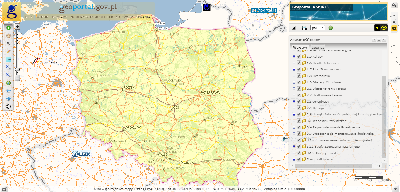
Geoportal INSPIRE umożliwia przeglądanie danych przestrzennych oraz wyszukiwanie zbiorów i usług danych przestrzennych udostępnionych zgodnie dyrektywą INSPIRE.
Inicjatywa INSPIRE to zespół działań, które miały na celu budowę europejskiej infrastruktury informacji przestrzennej w celu zapewnienia dostępu do danych przestrzennych każdego z członków Unii Europejskiej. Dane te z założenia mogą być wykorzystywane na szczeblu europejskim do prac planistycznych, badawczych, związanych m.in. z polityką ekologiczną, rolnictwem, transportem, energetyką.
W ramach procesów związanych z rozwiązaniami prawnymi, uchwalono w Polsce Ustawę o infrastrukturze informacji przestrzennej (Ustawa o IIP) jako transpozycję Dyrektywy INSPIRE. Ustawa ta reguluje zagadnienia związane z działaniami na rzecz budowy i rozwoju infrastruktury informacji przestrzennej w kraju.
Tematy danych przestrzennych, za których realizację odpowiedzialny jest Główny Geodeta Kraju pogrupowane są zgodnie z Dyrektywą INSPIRE w trzy grupy tematyczne. Geoportal obecnie prezentuje niżej wymienione typy danych.
| Typ danych przestrzennych | Źródło pozyskania danych przestrzennych | Grupa tematyczna |
|---|---|---|
| Systemy odniesienia | – | I |
| Systemy siatek georeferencyjnych | – | I |
| Nazwy geograficzne | Państwowy Rejestr Nazw Geograficznych | I |
| Jednostki administracyjne | Państwowy Rejestr Granic i Powierzchni Jednostek Podziałów Terytorialnego Kraju | I |
| Adresy | Państwowy rejestr granic i powierzchni jednostek podziałów terytorialnych kraju | I |
| Działki katastralne | Przetworzone i zintegrowane dane o charakterze katastralnym | I |
| Sieci transportowe | Baza danych obiektów topograficznych – drogi, kolejeBaza Danych Ogólnogeograficznych w skali 1:250 000 | I |
| Hydrografia | Centralna Baza Danych Hydrogelogicznych – Bank HYDRO | I |
| Obszary chronione | Narodowy Instytut DziedzictwaGeneralna Dyrekcja Ochrony Środowiska | I |
| Ukształtowanie terenu | NMT – Numeryczny Model Terenu | II |
| Użytkowanie ziemi | Baza Danych OgólnogeograficznychCorine Land Cover | II |
| Ortoobrazy | Ortofotomapa z pikselem 0.50m i 0.25m | II |
| Geologia | Państwowy Instytut Geologiczny | II |
| Usługi użyteczności publicznej i służby państwowe | Baza Danych Obiektów Topograficznych(TBD) | III |
| Jednostki Statystyczne | Główny Urząd Statystyczny | III |
| Zagospodarowanie przestrzenne | Krajowa Integracja Miejscowych Planów Zagospodarowania Przestrzennego | III |
| Urządzenia do monitorowania środowiska | Państwowy Monitoring Środowiska | III |
| Rozmieszczenie ludności (demografia) | Główny Urząd Statystyczny | III |
| Strefy Zagrożenia Naturalnego | Generalna Dyrekcja Ochrony Środowiska | III |
| Obszary morskie | Państwowy Instytut Geologiczny | III |
W Geoportalu INSPIRE użytkownicy mają dostęp także do danych i usług INSPIRE publikowanych przez organy administracji inne niż Główny Geodeta Kraju, np. Strefy Zagrożenia Naturalnego, publikowane przez Generalną Dyrekcję Ochrony Środowiska.