Aplikacja internetowa umożliwiająca przeglądanie danych przestrzennych oraz wyszukiwanie zbiorów i usług danych przestrzennych należących do Krajowej Infrastruktury Informacji Przestrzennej.
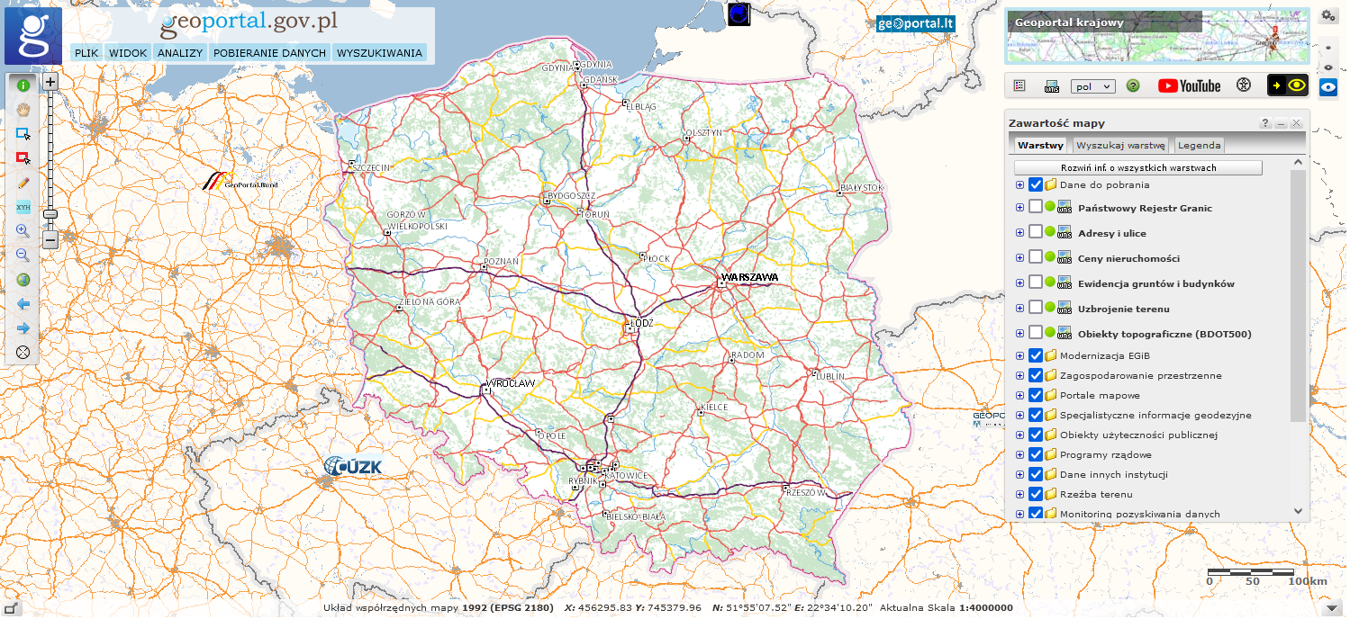
Aplikacja dostępna jest pod adresem: http://mapy.geoportal.gov.pl/imap/.
Głównym zadaniem serwisu jest udostępnienie obywatelom, przedsiębiorcom oraz administracji publicznej informacji przestrzennej pochodzącej z urzędowych rejestrów, które gwarantują jej odpowiednią: jakość, aktualność i wiarygodność. Stanowi on także centrum dostępowe do infrastruktury danych przestrzennych państwa.